Mainly ARCADIA SIT performed its services at the JRC-ISPRA (Joint Research Centre).
The project aims to use/define Land Administration Sectors with European Standard Level (i.e., INSPIRE) for all EU Member States and provide to realization of EU geoportal, geodatabase model design and production, land and spatial data, georeferencing and maps digitalization, update and normalization at EU level.
The main objective of the project is to provide own experience to develop modern:
LAND MANAGEMENT SERVICES
LAND DATA CAPTURING
DIGITAL MAPPING
ORTHO-MAPPING
CARTOGRAPHY
UPDATE AND IMPROVEMENT
LAND ADMINISTRATION & GEOGRAPHIC DATA BASE PRODUCTION
BUILDING OF THE SYSTEM
Support to the various European offices with aerial photogrammetry and ortho-imagery data analysis. Development of EU geoportal providing various land administration information accessibility. Design model database applying EU sectors standard, to build and manage geographical data and information. All these in several sectors: Forest, Forest fire, Agriculture, Floods, Drought, Climate change, Copernicus, Office organization, …
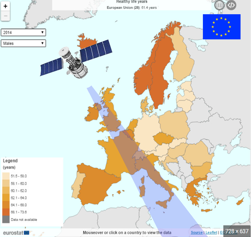
CLIENT: EU COMMISSION – EUROSTAT