Projects for the establishment/update of the Topographical Data Base (DBT) at different scales: 1:1,000; 1: 2,000; 1: 5,000; they involve a range of activities that can be summarised as follows:
ARCADIA SIT has realised several DBTs for public bodies operating at different scales and details and defining a correct workflow to optimise production times and defining a series of procedures in a GIS environment for all phases that can be automated.
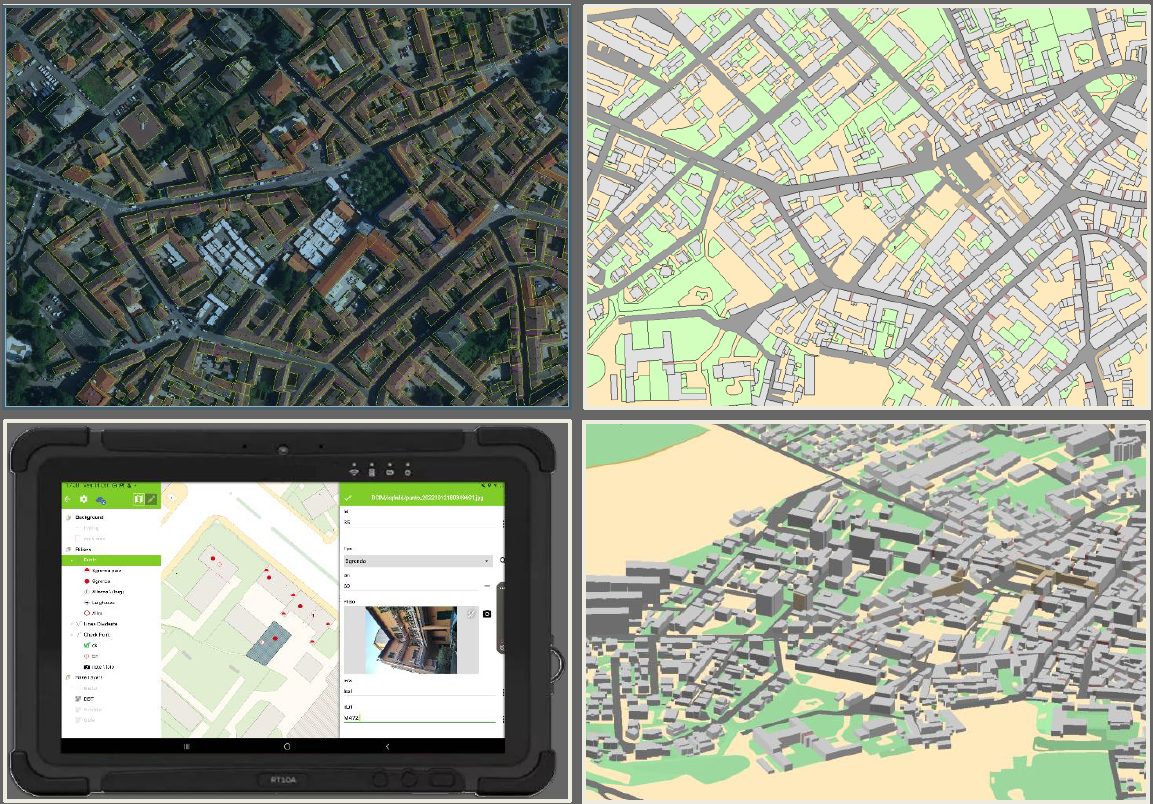
For reconnaissance activities in the field, ARCADIA SIT customised QFIELD to digitally capture the information surveyed in the field, with the possibility of tracing the route of the survey teams.
The structuring of geographic data involves importing the data returned by the photo and structuring the information, geometric, topological and attribute quality control, constructing a three-dimensional appearance, classifying the data, production printing and developing tools for control analysis.
The validation of the final, delivered product is carried out using the SCS scheme, depending on the content specification and scale, using the GeoUMLValidator which is the standard tool at national level developed by CISIS and Politenico in Milan.
CLIENT: REGION OF VENETO, REGION OF LOMBARDY, REGION OF CAMPANIA, MUNICIPALITIES: MILAN, PADUA, VICENZA, GENOA